2015

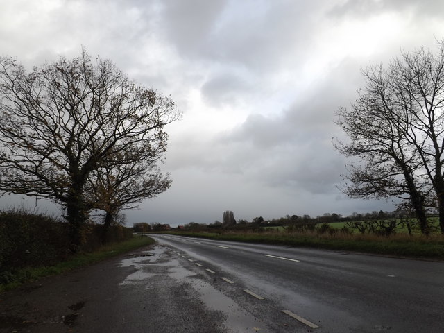
TM2176 : B1118 Chickering Road, Wingfield

taken 8 years ago, near to Wingfield, Suffolk, England

B1118 Chickering Road, Wingfield

Creative Commons Licence [Some Rights Reserved]   © Copyright Geographer and licensed for reuse under this Creative Commons Licence.
Geographical Context: Roads, Road transport Primary Subject: Road At: Wingfield other tags: Chickering Road B1118 Chickering Road B1118 B Road (Classified B) Lay-by Layby Click a tag, to view other nearby images.
This photo is linked from: Automatic Clusters: · Wingfield [13] · B1118 Chickering Road [11] Title Clusters: · B1118 Chickering Road, Wingfield [2] ·
1:50,000 Modern Day Landranger(TM) Map © Crown Copyright
+
1:50,000 Modern Day Landranger(TM) Map © Crown Copyright
TIP: Click the map for more Large scale mapping
Grid Square
TM2176, 26 images   (more nearby 🔍)
Photographer
Geographer   (more nearby)
Date Taken
Saturday, 21 November, 2015   (more nearby)
Submitted
Monday, 23 November, 2015
Subject Location
OSGB36: geotagged! TM 21865 76092 [1m precision]
WGS84: 52:20.2807N 1:15.3185E
Camera Location
OSGB36: geotagged! TM 21865 76092
View Direction
East-southeast (about 112 degrees)
Clickable map
+
NW N NE
W Go E
SW S SE
Image classification(about): Geograph
This page has been viewed about 24 times
You are not logged in login | register