2015
SD7578 : View of Ellerbeck Pasture from Low Sleights Road
taken 9 years ago, near to Ribblehead, North Yorkshire, England
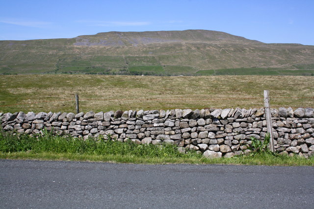
View of Ellerbeck Pasture from Low Sleights Road
Whernside on the horizon. There is an OS benchmark SD7578 : Benchmark on dry stone wall beside Ellerbeck Pasture on a stone at the base of the dry stone wall left of the right hand wooden fence post
 Map © Crown Copyright")
TIP: Click the map for more Large scale mapping
- Grid Square
- SD7578, 31 images (more nearby 🔍)
- Photographer
- Roger Templeman (more nearby)
- Date Taken
- Wednesday, 10 June, 2015 (more nearby)
- Submitted
- Monday, 30 November, 2015
- Subject Location
-
OSGB36:
 SD 752 789 [100m precision]
WGS84: 54:12.3306N 2:22.8838W - Camera Location
-
OSGB36: SD 756 784
- View Direction
- Northwest (about 315 degrees)