2015
SO2117 : A4077 through Legar
taken 8 years ago, near to Llangattock, Powys, Wales
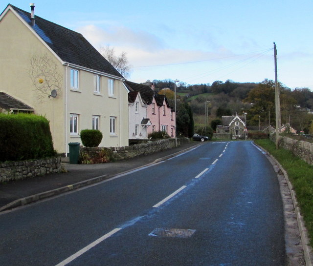
A4077 through Legar
This part of the A4077 is between houses in the hamlet of Legar
near Crickhowell and the perimeter wall of a field on a bank of the River Usk.
near Crickhowell and the perimeter wall of a field on a bank of the River Usk.
 Map © Crown Copyright")
TIP: Click the map for more Large scale mapping
- Grid Square
- SO2117, 111 images (more nearby 🔍)
- Photographer
- Jaggery (more nearby)
- Date Taken
- Sunday, 22 November, 2015 (more nearby)
- Submitted
- Saturday, 5 December, 2015
- Subject Location
-
OSGB36:
 SO 2147 1799 [10m precision]
WGS84: 51:51.2972N 3:8.4970W - Camera Location
-
OSGB36: SO 2157 1796
- View Direction
- West-northwest (about 292 degrees)