2015
TA1329 : Holderness Drain, Kingston upon Hull
taken 8 years ago, near to Marfleet, Kingston Upon Hull, England
This is 1 of 10 images, with title Holderness Drain, Kingston upon Hull in this square
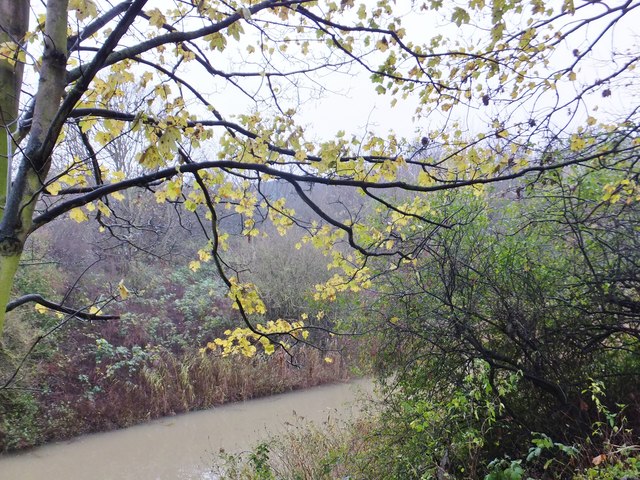
Holderness Drain, Kingston upon Hull
The last of the Autumn foliage on the west bank of the Holderness Drain between Hedon Road and the South Holderness Trail, route of the former Withernsea branch railway.
 Map © Crown Copyright")
TIP: Click the map for more Large scale mapping
- Grid Square
- TA1329, 290 images (more nearby 🔍)
- Photographer
- Bernard Sharp (more nearby)
- Date Taken
- Thursday, 3 December, 2015 (more nearby)
- Submitted
- Sunday, 6 December, 2015
- Subject Location
-
OSGB36:
 TA 1311 2962 [10m precision]
WGS84: 53:45.0410N 0:17.1673W - Camera Location
-
OSGB36: TA 1309 2964
- View Direction
- Southeast (about 135 degrees)