2015
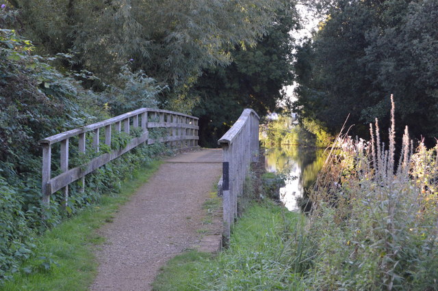
SU5466 : National Cycle Route 4 along the Kennet & Avon Canal
taken 9 years ago, near to Colthrop, West Berkshire, England
This is 1 of 2 images, with title National Cycle Route 4 along the Kennet & Avon Canal in this square
National Cycle Route 4 along the Kennet & Avon Canal
National Cycle Route 4
National Route 4 of the National Cycle Network is a long distance route between London and Fishguard via Reading, Bath, Bristol, Newport, Swansea, Carmarthen, Tenby, Haverfordwest and St. Davids. The route is fully open and signed though the route has not been finalised in central London between Greenwich and Putney Bridge.
Link
Kennet & Avon Canal
The Kennet and Avon is made up of two river navigations and a linking stretch of canal. It runs from Hanham Lock near Bristol to the River Thames at Reading, over 100 miles long with more than 100 locks, some magnificent engineering and crossing some of the most beautiful scenery in southern England. It was only reopened in 1990 after decades of dereliction.
 Map © Crown Copyright")
TIP: Click the map for more Large scale mapping
- Grid Square
- SU5466, 117 images (more nearby 🔍)
- Photographer
- N Chadwick (more nearby)
- Date Taken
- Saturday, 26 September, 2015 (more nearby)
- Submitted
- Friday, 11 December, 2015
- Subject Location
-
OSGB36:
 SU 5420 6629 [10m precision]
WGS84: 51:23.5841N 1:13.3435W - Camera Location
-
OSGB36: SU 5422 6629
- View Direction
- West-northwest (about 292 degrees)