2015
ST5630 : Trees and farmland near the Fosse Way
taken 9 years ago, near to Keinton Mandeville, Somerset, England
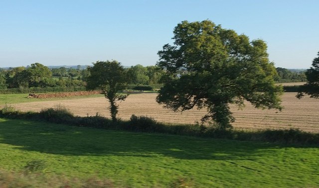
Trees and farmland near the Fosse Way
Seen from a train between Somerton and Castle Cary. The A37 Fosse Way is bordered by the hedge beyond the manure heaps on the left.
 Map © Crown Copyright")
TIP: Click the map for more Large scale mapping
- Grid Square
- ST5630, 32 images (more nearby 🔍)
- Photographer
- Derek Harper (more nearby)
- Date Taken
- Wednesday, 30 September, 2015 (more nearby)
- Submitted
- Sunday, 20 December, 2015
- Subject Location
-
OSGB36:
 ST 5608 3030 [10m precision]
WGS84: 51:4.2203N 2:37.6933W - Camera Location
-
OSGB36: ST 5605 3034
- View Direction
- Southeast (about 135 degrees)