2015
TQ3270 : Hermitage Road, Upper Norwood
taken 8 years ago, near to West Norwood, Croydon, England
This is 1 of 2 images, with title Hermitage Road, Upper Norwood in this square
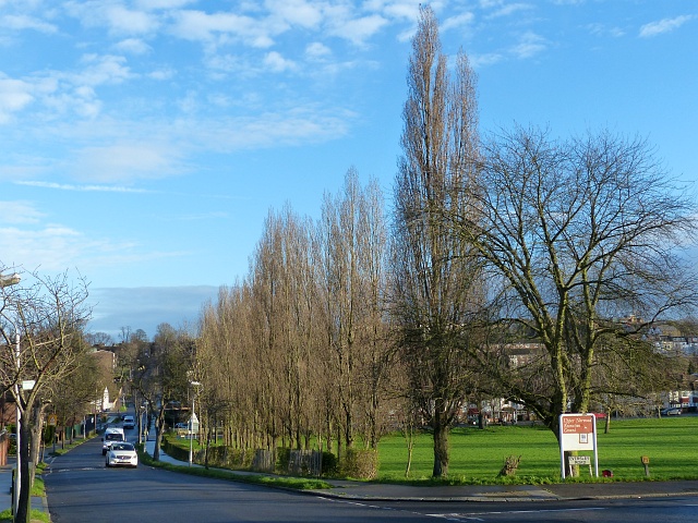
Hermitage Road, Upper Norwood
By the junction with Eversley Road with Upper Norwood Recreation Ground to the right.
Upper Norwood Recreation Ground
Upper Norwood Recreation Ground is 19 acres in size. it was acquired by the council in 1890 and is managed by Croydon Council. The Capital Ring runs through it. Facilities included football pitches and tennis courts.
 Map © Crown Copyright")
TIP: Click the map for more Large scale mapping
- Grid Square
- TQ3270, 148 images (more nearby 🔍)
- Photographer
- Robin Drayton (more nearby)
- Date Taken
- Monday, 21 December, 2015 (more nearby)
- Submitted
- Saturday, 26 December, 2015
- Subject Location
-
OSGB36:
 TQ 3252 7055 [10m precision]
WGS84: 51:25.1090N 0:5.7363W - Camera Location
-
OSGB36: TQ 3246 7048
- View Direction
- Northeast (about 45 degrees)