2015
TQ3078 : Vauxhall Embankment
taken 8 years ago, near to City of Westminster, England
This is 1 of 33 images, with title starting with Vauxhall in this square
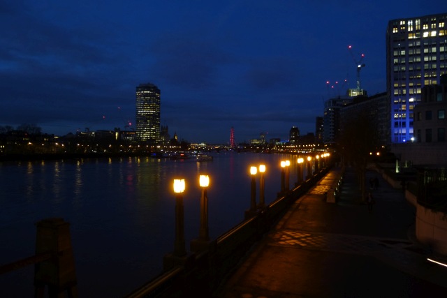
Vauxhall Embankment
Looking down on the Thames Path from Vauxhall Bridge.
River Thames
The River Thames rises at Thames Head in Gloucestershire on the slopes of the Cotswolds and flows generally eastward to its mouth near Southend in Essex. At 215 miles long it is one of the longest rivers in Britain, and the longest entirely within England. It is one of the most important rivers in Britain. Link

Vauxhall Bridge
The present bridge opened in 1906 and is a grade II* listed structure. It replaced an earlier bridge opened in 1816 called the Regent Bridge (later renamed Vauxhall bridge). It is made from steel and granite and is 809 ft long.
Wikipedia: Link
 Map © Crown Copyright")
TIP: Click the map for more Large scale mapping
- Grid Square
- TQ3078, 1420 images (more nearby 🔍)
- Photographer
- DS Pugh (more nearby)
- Date Taken
- Friday, 11 December, 2015 (more nearby)
- Submitted
- Monday, 28 December, 2015
- Subject Location
-
OSGB36:
 TQ 3028 7816 [10m precision]
WGS84: 51:29.2435N 0:7.5000W - Camera Location
-
OSGB36: TQ 30221 78112
- View Direction
- Northeast (about 45 degrees)