2015
SK1266 : Former railway bridge over a footpath and farm access
taken 8 years ago, near to Flagg, Derbyshire, England
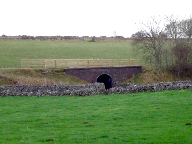
Former railway bridge over a footpath and farm access
Formerly the London & North Western Railway Ashbourne to Buxton Line and now the High Peak Trail
 Map © Crown Copyright")
TIP: Click the map for more Large scale mapping
- Grid Square
- SK1266, 66 images (more nearby 🔍)
- Photographer
- Ian Calderwood (more nearby)
- Date Taken
- Tuesday, 29 December, 2015 (more nearby)
- Submitted
- Tuesday, 29 December, 2015
- Subject Location
-
OSGB36:
 SK 1226 6669 [10m precision]
WGS84: 53:11.8291N 1:49.0765W - Camera Location
-
OSGB36: SK 1211 6668
- View Direction
- EAST (about 90 degrees)