2015
HU5185 : Old Road and Bridge, Otterswick
taken 9 years ago, near to Otterswick, Mainland, Shetland Islands, Scotland
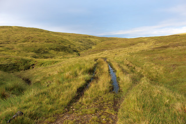
Old Road and Bridge, Otterswick
An abandoned sharp bend where the old road alignment crossed the South Burn of Otterswick. The bend has been eased and a new culvert put in.
 Map © Crown Copyright")
TIP: Click the map for more Large scale mapping
- Grid Square
- HU5185, 15 images (more nearby 🔍)
- Photographer
- Des Blenkinsopp (more nearby)
- Date Taken
- Monday, 10 August, 2015 (more nearby)
- Submitted
- Sunday, 3 January, 2016
- Subject Location
-
OSGB36:
 HU 5145 8535 [10m precision]
WGS84: 60:32.9043N 1:3.8315W - Camera Location
-
OSGB36: HU 5151 8548
- View Direction
- South-southwest (about 202 degrees)