2016
SU4198 : The old main road from Fyfield to Kingston Bagpuize
taken 8 years ago, near to Kingston Bagpuize, Oxfordshire, England
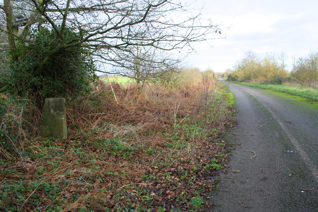
The old main road from Fyfield to Kingston Bagpuize
On the left is a boundary stone with an OS benchmark SU4198 : Benchmark on Kingston Bagpuize / Fyfield boundary stone
 Map © Crown Copyright")
TIP: Click the map for more Large scale mapping
- Grid Square
- SU4198, 21 images (more nearby 🔍)
- Photographer
- Roger Templeman (more nearby)
- Date Taken
- Friday, 8 January, 2016 (more nearby)
- Submitted
- Saturday, 9 January, 2016
- Subject Location
-
OSGB36:
 SU 4119 9831 [10m precision]
WGS84: 51:40.9229N 1:24.3378W - Camera Location
-
OSGB36: SU 4115 9829
- View Direction
- East-northeast (about 67 degrees)