2016
SJ9495 : Peak Forest Canal from Nursery Road
taken 8 years ago, near to Hyde, Tameside, England
This is 1 of 3 images, with title Peak Forest Canal from Nursery Road in this square
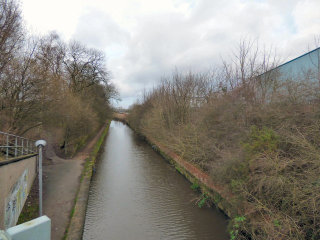
Peak Forest Canal from Nursery Road
On a grey winter's day.
Peak Forest Canal
The Peak Forest Canal runs for 15 miles between Ashton under Lyne and Whaley Bridge.
It was built to link the Ashton Canal with the tramways that brought limestone from the Peak District quarries.
The Lower Peak Forest Canal forms part of the "Cheshire Ring".
LinkPennine Waterways website including a "virtual tour" of the canal
Link
 Map © Crown Copyright")
TIP: Click the map for more Large scale mapping
- Grid Square
- SJ9495, 883 images (more nearby 🔍)
- Photographer
- Gerald England (more nearby)
- Date Taken
- Thursday, 7 January, 2016 (more nearby)
- Submitted
- Tuesday, 12 January, 2016
- Subject Location
-
OSGB36:
 SJ 9421 9544 [10m precision]
WGS84: 53:27.3409N 2:5.3197W - Camera Location
-
OSGB36: SJ 9422 9538
- View Direction
- North-northwest (about 337 degrees)