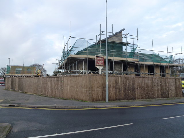
TF4609 : The Blackfriars (Site of) - Public Houses, Inns and Taverns of Wisbech
taken 8 years ago, near to Wisbech, Cambridgeshire, England
A photographic survey started in 2016 © Richard Humphrey
I am attempting to locate and photograph all of the inns, tavern, pubs, bars, beer houses and hotels that ever existed in Wisbech, Cambridgeshire. I estimate there are about 160 names in total which will fall into 3 categories:-
1 - Those still trading
2 - Those closed but the buildings are still standing
3 - The site/area of those demolished and lost forever
Some of them changed names over the years so I estimate there are about 145 sites to locate.
I hope to find all the hostelries in a book titled The Inns and Taverns of Wisbech written in 1950 by Mr A A Oldham who lived in Wisbech and which was subsequently republished in 1979 by Cambridgeshire Libraries. Although very comprehensively and painstakingly researched and documented (without the help of the internet) the book only contains photographs of 4 hostelries.
I will also photograph any additional hostelries that have opened after 1950 or any AA Oldham did not record.
I intend to find old photographs, maps or documentary proof of the existence and location of any establishment previously unknown to me and also record those I have frequented as a customer.
Please feel free to contact me if you believe any of the information is incorrect or you have additional information I could use.
You are free to reuse any photographs or information that is my copyright as long as you acknowledge the copyright as explained on the Geograph website. A link to the website would also be appreciated.
 Map © Crown Copyright")
- Grid Square
- TF4609, 625 images (more nearby 🔍)
- Photographer
- Richard Humphrey (more nearby)
- Date Taken
- Friday, 8 January, 2016 (more nearby)
- Submitted
- Thursday, 14 January, 2016
- Subject Location
-
OSGB36:
 TF 4638 0982 [10m precision]
WGS84: 52:39.9800N 0:9.7901E - Camera Location
-
OSGB36: TF 4638 0978
- View Direction
- North-northwest (about 337 degrees)