2015
SU6351 : Footpath from Cranbourne
taken 9 years ago, near to Basingstoke, Hampshire, England
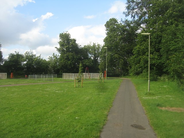
Footpath from Cranbourne
Linking the suburbs with the town centre.
 Map © Crown Copyright")
TIP: Click the map for more Large scale mapping
- Grid Square
- SU6351, 1738 images (more nearby 🔍)
- Photographer
- Mr Ignavy (more nearby)
- Date Taken
- Tuesday, 2 June, 2015 (more nearby)
- Submitted
- Sunday, 17 January, 2016
- Subject Location
-
OSGB36:
 SU 6353 5131 [10m precision]
WGS84: 51:15.4454N 1:5.4586W - Camera Location
-
OSGB36: SU 6351 5128
- View Direction
- Northeast (about 45 degrees)