2016
SO2601 : Cycle route 492 & bridleway, towards Elled Road
taken 8 years ago, near to Cwm Ffrwd-Oer, Torfaen/Tor-Faen, Wales
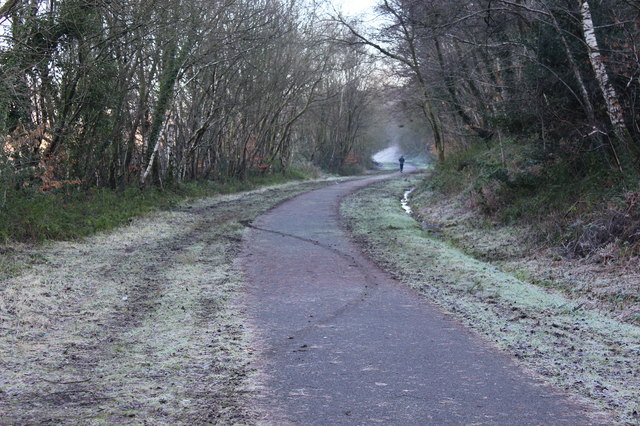
Cycle route 492 & bridleway, towards Elled Road
A runner in the distance going east on the route of a dismantled railway on a frosty winter's day.
 Map © Crown Copyright")
TIP: Click the map for more Large scale mapping
- Grid Square
- SO2601, 109 images (more nearby 🔍)
- Photographer
- M J Roscoe (more nearby)
- Date Taken
- Tuesday, 19 January, 2016 (more nearby)
- Submitted
- Thursday, 21 January, 2016
- Subject Location
-
OSGB36:
 SO 2699 0155 [10m precision]
WGS84: 51:42.4750N 3:3.4813W - Camera Location
-
OSGB36: SO 2688 0157
- View Direction
- EAST (about 90 degrees)