2016
SO8455 : Path leading to the Sabrina Bridge
taken 8 years ago, near to Worcester, Worcestershire, England
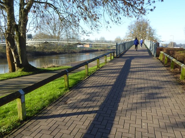
Path leading to the Sabrina Bridge
Ramp leading up to the Sabrina Bridge, a footpath crossing the River Severn.
 Map © Crown Copyright")
TIP: Click the map for more Large scale mapping
- Grid Square
- SO8455, 1102 images (more nearby 🔍)
- Photographer
- Philip Halling (more nearby)
- Date Taken
- Tuesday, 19 January, 2016 (more nearby)
- Submitted
- Monday, 25 January, 2016
- Subject Location
-
OSGB36:
 SO 8428 5518 [10m precision]
WGS84: 52:11.6778N 2:13.8837W - Camera Location
-
OSGB36: SO 8433 5515
- View Direction
- West-northwest (about 292 degrees)