2016
SZ0478 : Rocks at Peveril Point
taken 8 years ago, near to Swanage, Dorset, England
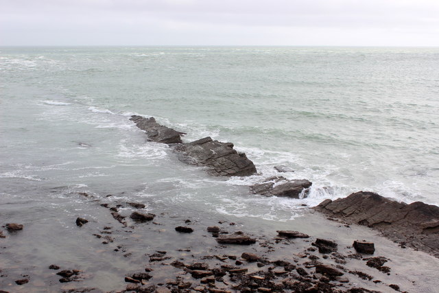
Rocks at Peveril Point.
This reef running east from the point is the Peveril ledge of the Broken Shell Limestone.
 Map © Crown Copyright")
TIP: Click the map for more Large scale mapping
- Grid Square
- SZ0478, 76 images (more nearby 🔍)
- Photographer
- Nigel Mykura (more nearby)
- Date Taken
- Saturday, 23 January, 2016 (more nearby)
- Submitted
- Wednesday, 27 January, 2016
- Subject Location
-
OSGB36:
 SZ 0407 7858 [10m precision]
WGS84: 50:36.4154N 1:56.6307W - Camera Location
-
OSGB36: SZ 0401 7862
- View Direction
- Southeast (about 135 degrees)