2016
SD5869 : Net bags of stone, Loyn Bridge
taken 8 years ago, near to Gressingham, Lancashire, England
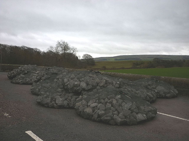
Net bags of stone, Loyn Bridge
Several of these have already been lowered onto the upstream edges of the cut waters to protect the bridge which is closed due to flood damage.
 Map © Crown Copyright")
TIP: Click the map for more Large scale mapping
- Grid Square
- SD5869, 84 images (more nearby 🔍)
- Photographer
- Karl and Ali (more nearby)
- Date Taken
- Sunday, 24 January, 2016 (more nearby)
- Submitted
- Saturday, 30 January, 2016
- Subject Location
-
OSGB36:
 SD 5812 6972 [10m precision]
WGS84: 54:7.2976N 2:38.5353W - Camera Location
-
OSGB36: SD 5812 6972
- View Direction
- East-southeast (about 112 degrees)