2016
TG0838 : Cromer Road, Holt
taken 8 years ago, near to Holt, Norfolk, England
This is 1 of 4 images, with title Cromer Road, Holt in this square
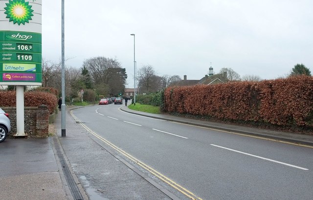
Cromer Road, Holt
A reverse view of TG0838 : BP Filling Station, looking along the road out of Holt from the BP station.
 Map © Crown Copyright")
TIP: Click the map for more Large scale mapping
- Grid Square
- TG0838, 159 images (more nearby 🔍)
- Photographer
- Derek Harper (more nearby)
- Date Taken
- Saturday, 2 January, 2016 (more nearby)
- Submitted
- Thursday, 4 February, 2016
- Subject Location
-
OSGB36:
 TG 0814 3892 [10m precision]
WGS84: 52:54.4428N 1:5.6227E - Camera Location
-
OSGB36: TG 0809 3891
- View Direction
- East-northeast (about 67 degrees)