2006
SD7314 : Flooded Quarry
taken 18 years ago, near to Chapeltown, Blackburn With Darwen, England
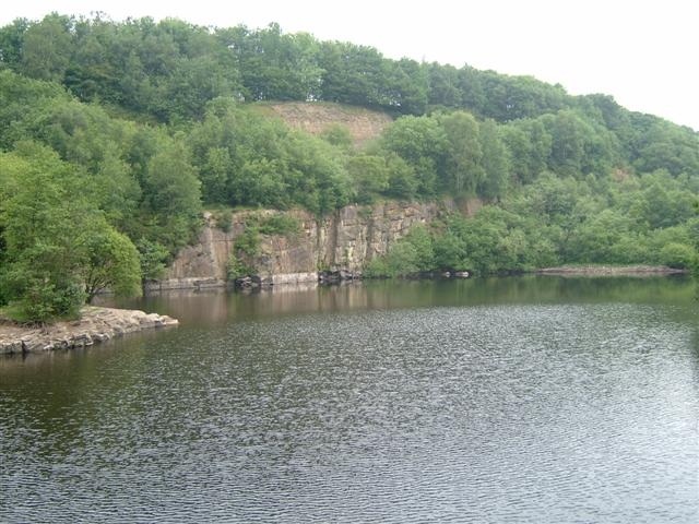
Flooded Quarry
This Flooded Quarry is now part of Jumbles reservoir
 Map © Crown Copyright")
TIP: Click the map for more Large scale mapping
- Grid Square
- SD7314, 127 images (more nearby 🔍)
- Photographer
- Paul Rudge (more nearby)
- Date Taken
- Sunday, 25 June, 2006 (more nearby)
- Submitted
- Sunday, 1 July, 2007
- Subject Location
-
OSGB36:
 SD 735 149 [100m precision]
WGS84: 53:37.7973N 2:24.0499W - Camera Location
-
OSGB36: SD 736 148
- View Direction
- North-northwest (about 337 degrees)