2016
SU4712 : 2016: a year on Geograph (Day 42)
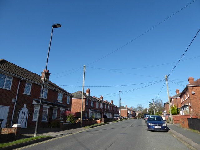
taken 8 years ago, near to Thornhill, Southampton, England
2016: a year on Geograph (Day 42)
Top end of Hinkler Road
This time I'm storing them
On January 1st 2014 I started one of those 365 photo a day projects. 365 days and 365 photos later I stopped. DOH! I had forgotten to read the small print; and they were deleted 6 months later. So now I'm putting my "Photo for the day" on Geograph and hoping it doesn't do a Barings Bank!
 Map © Crown Copyright")
TIP: Click the map for more Large scale mapping
- Grid Square
- SU4712, 42 images (more nearby 🔍)
- Photographer
- Basher Eyre (more nearby)
- Date Taken
- Thursday, 11 February, 2016 (more nearby)
- Submitted
- Friday, 12 February, 2016
- Subject Location
-
OSGB36:
 SU 471 129 [100m precision]
WGS84: 50:54.8675N 1:19.8662W - Camera Location
-
OSGB36: SU 471 129
- View Direction
- North-northwest (about 337 degrees)