2016
SK8810 : Church of the Holy Cross, Burley on the Hill
taken 8 years ago, near to Burley, Rutland, England
Church of the Holy Cross, Burley on the Hill
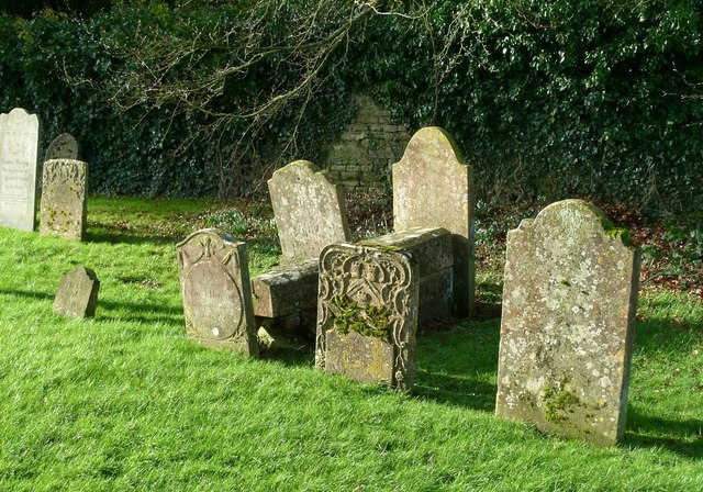
A selection of headstones in the west end of the churchyard.
Holy Cross church, Burley
Grade II*listed
The church is adjacent to Burley on the Hill House which was built in the 1690s by the 2nd Earl of Nottingham.
The church dates from the 12th century onwards consisting of a west tower, nave with aisles, clerestory, and 3 bay aisled chancel.
Originally the church consisted of a nave, chancel and north aisle, the south aisle was added later.
The tower is from the early 14th century with embattled parapet and gargoyles.
The north arcade has three bays and is Norman with round arches, the south arcade is late 13th century with circular piers and pointed arches.
There is a late 15th C. mutilated effigy of a Knight and his wife.
The font is 15th C. octagonal with eight different tracery designs.
The church was restored in the late 18th-century when box pews were added.
The church was rebuilt in 1869/70 by Pearson, who rebuilt the aisles, clerestory windows and chancel.
The church was declared redundant in May 1984 and is now managed by the Churches Conservation Trust.
Image classification
(about):
Supplemental image
This page has been
viewed about
27 times
 Map © Crown Copyright")
 SK 8828 1022 [10m precision]