2008
SH5066 : Golygfa tuag at Frynsiencyn o Blas Llanfair - View towards Brynsiecyn from Plas Llanfair
taken 16 years ago, near to Bethel, Gwynedd, Wales
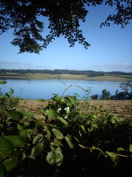
Golygfa tuag at Frynsiencyn o Blas Llanfair - View towards Brynsiecyn from Plas Llanfair
View from Plas Llanfair towards Brynsiencyn, overlooking 'Cae Gorad' field and the Menai Strait.
 Map © Crown Copyright")
TIP: Click the map for more Large scale mapping
- Grid Square
- SH5066, 30 images (more nearby 🔍)
- Photographer
- James Whittaker (more nearby)
- Date Taken
- Friday, 1 August, 2008 (more nearby)
- Submitted
- Monday, 15 February, 2016
- Subject Location
-
OSGB36:
 SH 5097 6632 [10m precision]
WGS84: 53:10.3838N 4:13.8686W - Camera Location
-
OSGB36: SH 5097 6632
- View Direction
- North-northwest (about 337 degrees)