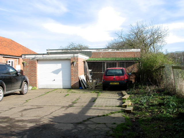
TG2500 : Vehicle garage and generator house
taken 8 years ago, near to Shotesham, Norfolk, England
The Decca Navigator System, as it became known, was a hyperbolic radio navigation system allowing ships and aircraft to determine their position by receiving radio signals from fixed navigational beacons and it consisted of a number of land-based radio beacons organised into chains, with each chain comprising a master station and three slave stations. In 1946, the Decca Navigator Co Ltd was formed and the first chain - Chain 5B (English) - was established in the south-east of England with its navigation system covering the English Channel, the Irish Sea and the southern North Sea.
One of the first Decca stations of Chain 5B (English) was located in the parish of Poringland in South Norfolk on land on the east side of Shotesham Road. It is still marked on current maps as a transmitter station despite it having been closed down for the past 15 years and converted into a private dwelling. For more detailed information read: Link
Please note that permission must be sought before entering the property.
 Map © Crown Copyright")
- Grid Square
- TG2500, 57 images (more nearby 🔍)
- Photographer
- Evelyn Simak (more nearby)
- Date Taken
- Thursday, 11 February, 2016 (more nearby)
- Submitted
- Friday, 19 February, 2016
- Subject Location
-
OSGB36:
 TG 2577 0018 [10m precision]
WGS84: 52:33.1564N 1:19.7280E - Camera Location
-
OSGB36: TG 2575 0018
- View Direction
- EAST (about 90 degrees)