2015
SK4689 : Northbound M1, Doles Lane Bridge
taken 9 years ago, near to Whiston, Rotherham, England
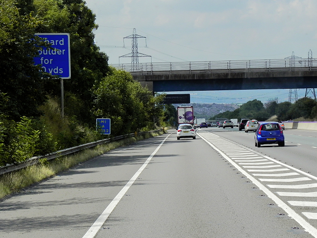
Northbound M1, Doles Lane Bridge
The M1 is a northsouth motorway connecting London to Leeds, where it joins the A1(M) near Aberford. It was the first motorway to be completed in the United Kingdom.
The motorway is 193 miles long and was constructed in four phases. Most of the motorway was opened between 1959 and 1968 but the southern end was extended in 1977 and the northern end was extended in 1999.
See other images of M1 Motorway
The motorway is 193 miles long and was constructed in four phases. Most of the motorway was opened between 1959 and 1968 but the southern end was extended in 1977 and the northern end was extended in 1999.
See other images of M1 Motorway
 Map © Crown Copyright")
TIP: Click the map for more Large scale mapping
- Grid Square
- SK4689, 24 images (more nearby 🔍)
- Photographer
- David Dixon (more nearby)
- Date Taken
- Saturday, 8 August, 2015 (more nearby)
- Submitted
- Tuesday, 23 February, 2016
- Subject Location
-
OSGB36:
 SK 460 892 [100m precision]
WGS84: 53:23.8902N 1:18.5616W - Camera Location
-
OSGB36: SK 461 892
- View Direction
- WEST (about 270 degrees)