2015
TR2336 : Folkestone Harbour
taken 9 years ago, near to Folkestone, Kent, England
This is 1 of 29 images, with title Folkestone Harbour in this square
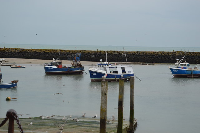
Folkestone Harbour
The harbour is made up of the Inner Harbour, Outer Harbour, and Harbour Pier.
The 'Inner Harbour' is partially protected by Folkestone harbour pier and used for larger ships, and the enclosed 'Outer Harbour' used by small boats, and is divided in two by a brick arched viaduct which leads the railway onto the Harbour Pier.
At the pier head is small lighthouse which is Grade II listed Link
See other images of Folkestone harbour
 Map © Crown Copyright")
TIP: Click the map for more Large scale mapping
- Grid Square
- TR2336, 767 images (more nearby 🔍)
- Photographer
- N Chadwick (more nearby)
- Date Taken
- Tuesday, 18 August, 2015 (more nearby)
- Submitted
- Thursday, 25 February, 2016
- Subject Location
-
OSGB36:
 TR 2346 3605 [10m precision]
WGS84: 51:4.8140N 1:11.3370E - Camera Location
-
OSGB36: TR 2337 3607
- View Direction
- East-southeast (about 112 degrees)