2016
NU2309 : Cyclepath by the A1068
taken 8 years ago, near to High Buston, Northumberland, England
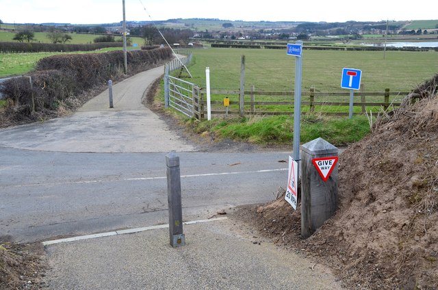
Cyclepath by the A1068
The path here crosses the minor road to Waterside House.
 Map © Crown Copyright")
TIP: Click the map for more Large scale mapping
- Grid Square
- NU2309, 56 images (more nearby 🔍)
- Photographer
- Jim Barton (more nearby)
- Date Taken
- Wednesday, 24 February, 2016 (more nearby)
- Submitted
- Monday, 29 February, 2016
- Subject Location
-
OSGB36:
 NU 2392 0975 [10m precision]
WGS84: 55:22.8688N 1:37.4424W - Camera Location
-
OSGB36: NU 2392 0973
- View Direction
- NORTH (about 0 degrees)