2015
SU3168 : Freeman's Marsh
taken 9 years ago, near to Hungerford, West Berkshire, England
This is 1 of 2 images, with title Freeman's Marsh in this square
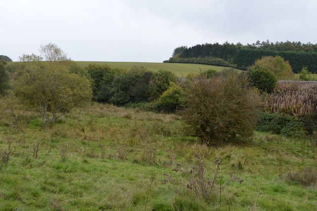
Freeman's Marsh
Freeman's Marsh is a Site of Special Scientific Interest.
The site consists of unimproved meadows, marsh and reedbed. It is an important site for overwintering, migratory and breeding birds and supports many varieties of flora which are scarce in Southern England. It is located in the floodplain of the River Dun, a small tributary of the River Kennet and is bordered by the Kennet and Avon Canal.
See other images of Freeman's Marsh
 Map © Crown Copyright")
TIP: Click the map for more Large scale mapping
- Grid Square
- SU3168, 73 images (more nearby 🔍)
- Photographer
- N Chadwick (more nearby)
- Date Taken
- Saturday, 10 October, 2015 (more nearby)
- Submitted
- Monday, 29 February, 2016
- Subject Location
-
OSGB36:
 SU 3195 6827 [10m precision]
WGS84: 51:24.7533N 1:32.5194W - Camera Location
-
OSGB36: SU 3189 6832
- View Direction
- Southeast (about 135 degrees)