2016
TL0835 : The Orangery, Wrest Park
taken 8 years ago, near to Silsoe, Central Bedfordshire, England
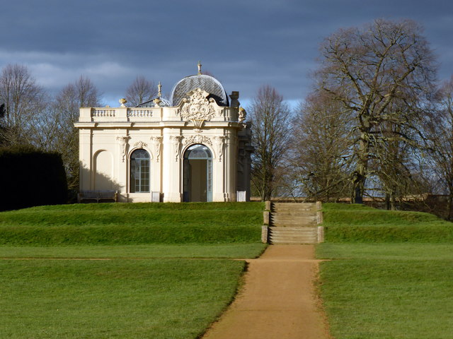
The Orangery, Wrest Park
A historic landscape and mansion, the home of the de Grey family from the early-13C until 1917, when it was sold after the death of Auberon Herbert, the 9th Baron Lucas. The French chateau-style mansion, built in the 1830s, replaced an earlier house on the site. The landscape was influenced by: Henry, Duke of Kent, who laid out the massive formal woodland gardens, with water features and abundant statues and buildings, in the early 18C; Jemima, Marchioness Grey, modified the garden in the second half of the 18C in line with the then fashionable English landscape style; and Thomas Earl de Grey, who created the Upper Gardens in the 1830s after demolishing the original family house and building the existing house.
It was used as a hospital during WWI, bought in 1939 by the Sun Insurance Company as its WWII HQ. In 1946 it was bought by the Ministry of Public Buildings and Works and leased to the National Institute of Agricultural Engineering, which became the Silsoe Institute, until that was incorporated with and moved to Cranfield University in 2006. When the Institute closed the house was taken over by English Heritage and a 20-year plan to restore the gardens was initiated to reveal their development and history from 1680-1917, the first phase of which was revealed in 2011. There is now a visitor centre, the house has office space to rent, and some of the ground floor has been opened to visitors with an exhibition of the history of the house. Link
See other images of Wrest House and Park
 Map © Crown Copyright")
TIP: Click the map for more Large scale mapping
- Grid Square
- TL0835, 114 images (more nearby 🔍)
- Photographer
- PAUL FARMER (more nearby)
- Date Taken
- Sunday, 28 February, 2016 (more nearby)
- Submitted
- Friday, 4 March, 2016
- Subject Location
-
OSGB36:
 TL 0897 3533 [10m precision]
WGS84: 52:0.3432N 0:24.8335W - Camera Location
-
OSGB36: TL 0898 3529
- View Direction
- North-northwest (about 337 degrees)