2016
NX4843 : Coastal Path to Rigg Bay
taken 8 years ago, near to Cults, Dumfries And Galloway, Scotland
This is 1 of 3 images, with title Coastal Path to Rigg Bay in this square
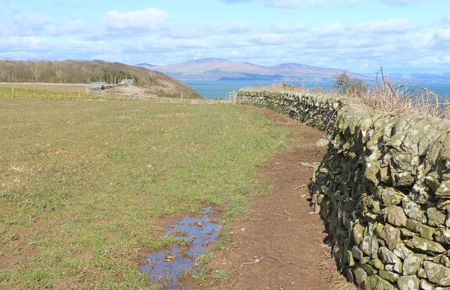
Coastal Path to Rigg Bay
Follow the Stane Dyke.
 Map © Crown Copyright")
TIP: Click the map for more Large scale mapping
- Grid Square
- NX4843, 106 images (more nearby 🔍)
- Photographer
- Billy McCrorie (more nearby)
- Date Taken
- Wednesday, 9 March, 2016 (more nearby)
- Submitted
- Thursday, 10 March, 2016
- Subject Location
-
OSGB36:
 NX 4834 4319 [10m precision]
WGS84: 54:45.6407N 4:21.5112W - Camera Location
-
OSGB36: NX 4833 4317
- View Direction
- North-northeast (about 22 degrees)