2016
ST3442 : Track, Woolavington Level
taken 8 years ago, near to Woolavington, Somerset, England
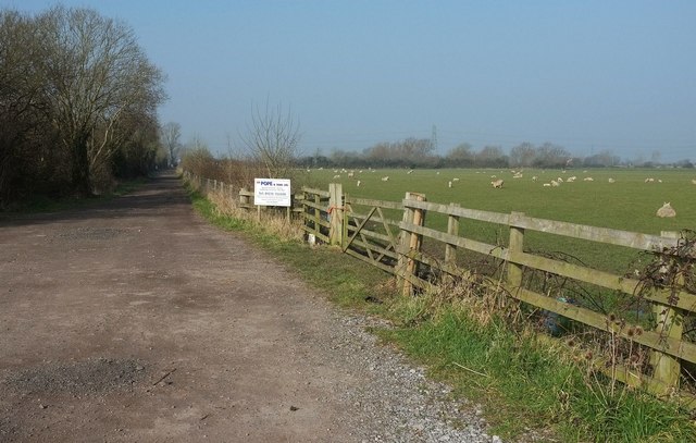
Track, Woolavington Level
From the B3141, The Causeway.
 Map © Crown Copyright")
TIP: Click the map for more Large scale mapping
- Grid Square
- ST3442, 8 images (more nearby 🔍)
- Photographer
- Derek Harper (more nearby)
- Date Taken
- Sunday, 13 March, 2016 (more nearby)
- Submitted
- Sunday, 13 March, 2016
- Subject Location
-
OSGB36:
 ST 3463 4216 [10m precision]
WGS84: 51:10.4954N 2:56.1889W - Camera Location
-
OSGB36: ST 3467 4216
- View Direction
- WEST (about 270 degrees)