2016
ST4042 : Huntspill Drove Rhyne
taken 8 years ago, near to Burtle, Somerset, England
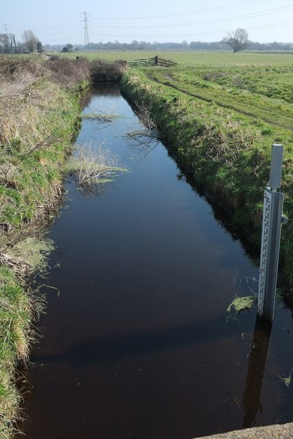
Huntspill Drove Rhyne
From Catcott Broad Drove.
 Map © Crown Copyright")
TIP: Click the map for more Large scale mapping
- Grid Square
- ST4042, 9 images (more nearby 🔍)
- Photographer
- Derek Harper (more nearby)
- Date Taken
- Sunday, 13 March, 2016 (more nearby)
- Submitted
- Tuesday, 15 March, 2016
- Subject Location
-
OSGB36:
 ST 4020 4291 [10m precision]
WGS84: 51:10.9367N 2:51.4164W - Camera Location
-
OSGB36: ST 4016 4292
- View Direction
- East-southeast (about 112 degrees)