2016

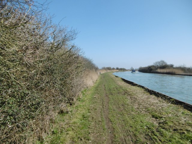
SO7004 : Purton, towpath

taken 8 years ago, near to Purton, Gloucestershire, England

Purton, towpath
Purton, towpath
Alongside Gloucester & Sharpness Canal; the path forms part of Severn Way: LinkExternal link

Creative Commons Licence [Some Rights Reserved]   © Copyright Mike Faherty and licensed for reuse under this Creative Commons Licence.
Geographical Context: Paths Canals Flat landscapes Canal: Gloucester and Sharpness Long Distance Path: Severn Way Primary Subject: Canal Towpath
This photo is linked from: Automatic Clusters: · Gloucester Sharpness Canal [9] · Purton [4] · Towpath of the Gloucester and Sharpness Canal [4] ·
1:50,000 Modern Day Landranger(TM) Map © Crown Copyright
+
1:50,000 Modern Day Landranger(TM) Map © Crown Copyright
TIP: Click the map for more Large scale mapping
Grid Square
SO7004, 16 images   (more nearby 🔍)
Photographer
Mike Faherty   (more nearby)
Date Taken
Sunday, 13 March, 2016   (more nearby)
Submitted
Sunday, 20 March, 2016
Subject Location
OSGB36: geotagged! SO 7016 0404 [10m precision]
WGS84: 51:44.0562N 2:26.0100W
Camera Location
OSGB36: geotagged! SO 7016 0404
View Direction
EAST (about 90 degrees)
Clickable map
+
NW N NE
W Go E
SW S SE
Image classification(about): Geograph (Fourth Visitor for SO7004)
This page has been viewed about 20 times
You are not logged in login | register