SE1344 : Iron posts on the moor
taken 8 years ago, 3 km from Burley in Wharfedale, Bradford, England
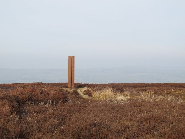
Rombalds Moor covers about 90 sq.km. between Wharfedale and Airedale. The highest point is 402m above sea level (grid ref for this shared description). Parts of it also have local names referring to the nearest town, e.g. Hawksworth, Burley, Ilkley, Bingley and Morton Moors.
The moor is particularly rich in remains of prehistoric activity. The most numerous relics are the rock carvings which can be found on many of the boulders and outcrops scattered across the moor. Burial monuments stone circles and a range of enclosed settlements are also known. [source: Historic England, overall description covering several ancient monument sites]
There are several small reservoirs, originally built by local authorities, that collect water from the moors. The Rombalds Water Board was taken over by the Yorkshire Water Authority in 1973.
 Map © Crown Copyright")
- Grid Square
- SE1344, 19 images (more nearby 🔍)
- Photographer
- Stephen Craven (more nearby)
- Date Taken
- Sunday, 13 March, 2016 (more nearby)
- Submitted
- Tuesday, 22 March, 2016
- Subject Location
-
OSGB36:
 SE 1380 4474 [10m precision]
WGS84: 53:53.9189N 1:47.4884W - Camera Location
-
OSGB36: SE 1379 4472
- View Direction
- North-northeast (about 22 degrees)