2015
SU6269 : Tylemill Lock
taken 9 years ago, near to Sulhamstead, West Berkshire, England
This is 1 of 2 images, with title Tylemill Lock in this square
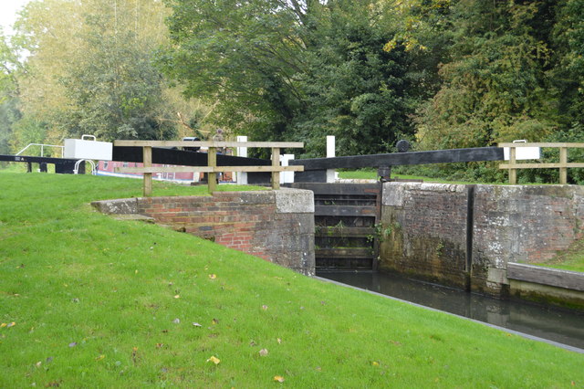
Tylemill Lock
The Kennet and Avon is made up of two river navigations and a linking stretch of canal. It runs from Hanham Lock near Bristol to the River Thames at Reading, over 100 miles long with more than 100 locks, some magnificent engineering and crossing some of the most beautiful scenery in southern England. It was only reopened in 1990 after decades of dereliction.
See other images of Kennet & Avon Canal
See other images of Kennet & Avon Canal
 Map © Crown Copyright")
TIP: Click the map for more Large scale mapping
- Grid Square
- SU6269, 163 images (more nearby 🔍)
- Photographer
- N Chadwick (more nearby)
- Date Taken
- Sunday, 11 October, 2015 (more nearby)
- Submitted
- Sunday, 27 March, 2016
- Subject Location
-
OSGB36:
 SU 6265 6920 [10m precision]
WGS84: 51:25.1017N 1:6.0266W - Camera Location
-
OSGB36: SU 6267 6921
- View Direction
- West-southwest (about 247 degrees)