2016
TQ1649 : West St, High St junction
taken 8 years ago, near to Dorking, Surrey, England
This is 1 of 2 images, with title West St, High St junction in this square
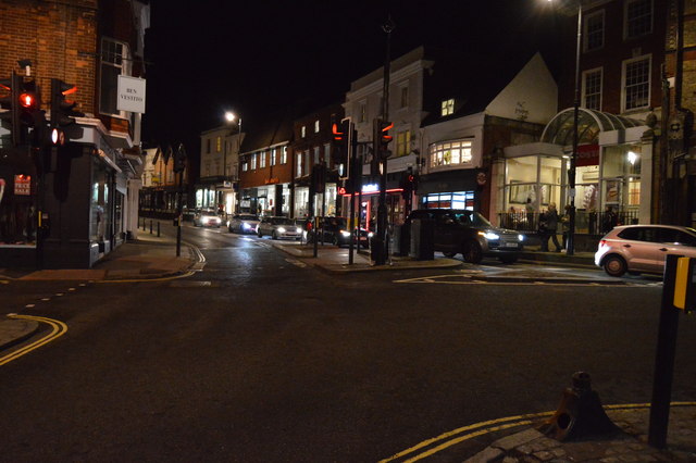
West St, High St junction
A25 Road
The A25 road runs 45 miles from Guildford east to Maidstone. The route follows the southern edge of the North Downs. Much of the route is parallel with the M25, which takes most of the roads traffic.
Link
A2003 Road
The A2003 links the Dorking ring road to the A24 to the north and south of the town centre. It is 2 miles long.
Link
 Map © Crown Copyright")
TIP: Click the map for more Large scale mapping
- Grid Square
- TQ1649, 805 images (more nearby 🔍)
- Photographer
- N Chadwick (more nearby)
- Date Taken
- Saturday, 6 February, 2016 (more nearby)
- Submitted
- Wednesday, 30 March, 2016
- Subject Location
-
OSGB36:
 TQ 1648 4936 [10m precision]
WGS84: 51:13.8929N 0:19.9851W - Camera Location
-
OSGB36: TQ 1646 4935
- View Direction
- EAST (about 90 degrees)