2016
SX1363 : Straight road to the A390
taken 8 years ago, 3 km from Braddock, Cornwall, England
This is 1 of 2 images, with title Straight road to the A390 in this square
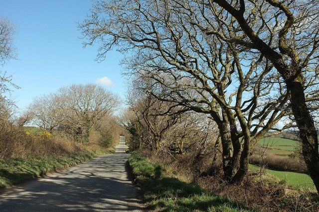
Straight road to the A390
Almost straight, anyway, for two kilometres, although it has just altered direction slightly behind the camera.
 Map © Crown Copyright")
TIP: Click the map for more Large scale mapping
- Grid Square
- SX1363, 11 images (more nearby 🔍)
- Photographer
- Derek Harper (more nearby)
- Date Taken
- Thursday, 31 March, 2016 (more nearby)
- Submitted
- Tuesday, 5 April, 2016
- Subject Location
-
OSGB36:
 SX 1390 6319 [10m precision]
WGS84: 50:26.3389N 4:37.3272W - Camera Location
-
OSGB36: SX 1385 6320
- View Direction
- East-southeast (about 112 degrees)