2016
TM1353 : Sandy Lane, Coddenham
taken 8 years ago, near to Coddenham, Suffolk, England
This is 1 of 7 images, with title Sandy Lane, Coddenham in this square
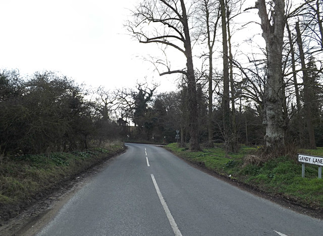
Sandy Lane, Coddenham
At the junction with the B1078 Church Road & B1078 Needham Road
 Map © Crown Copyright")
TIP: Click the map for more Large scale mapping
- Grid Square
- TM1353, 68 images (more nearby 🔍)
- Photographer
- Geographer (more nearby)
- Date Taken
- Friday, 25 March, 2016 (more nearby)
- Submitted
- Thursday, 7 April, 2016
- Subject Location
-
OSGB36:
 TM 13244 53939 [1m precision]
WGS84: 52:8.5537N 1:6.9002E - Camera Location
-
OSGB36: TM 13244 53939
- View Direction
- South-southwest (about 202 degrees)