2016
SU5774 : Kiln Pond, Burnt Hill
taken 8 years ago, near to Yattendon, West Berkshire, England
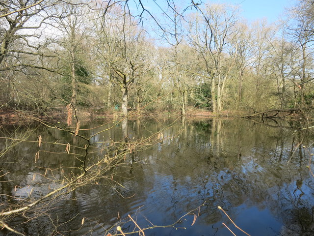
Kiln Pond, Burnt Hill
One of the many old clay pits which can be found around here.
 Map © Crown Copyright")
TIP: Click the map for more Large scale mapping
- Grid Square
- SU5774, 17 images (more nearby 🔍)
- Photographer
- Des Blenkinsopp (more nearby)
- Date Taken
- Thursday, 31 March, 2016 (more nearby)
- Submitted
- Saturday, 9 April, 2016
- Subject Location
-
OSGB36:
 SU 5709 7415 [10m precision]
WGS84: 51:27.8071N 1:10.7757W - Camera Location
-
OSGB36: SU 5706 7412
- View Direction
- Northeast (about 45 degrees)