2016
SK5021 : Junction of walls beside the Anchor Inn carpark
taken 8 years ago, near to Hathern, Leicestershire, England
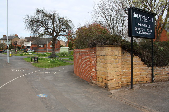
Junction of walls beside the Anchor Inn carpark
There is an OS benchmark SK5021 : Benchmark on Loughborough Road wall pier on the weathered brick wall pier between the stone pier and the brick wall
 Map © Crown Copyright")
TIP: Click the map for more Large scale mapping
- Grid Square
- SK5021, 19 images (more nearby 🔍)
- Photographer
- Roger Templeman (more nearby)
- Date Taken
- Friday, 8 April, 2016 (more nearby)
- Submitted
- Sunday, 10 April, 2016
- Subject Location
-
OSGB36:
 SK 5018 2196 [10m precision]
WGS84: 52:47.5729N 1:15.4374W - Camera Location
-
OSGB36: SK 5021 2194
- View Direction
- Northwest (about 315 degrees)