2016
TM0856 : Church Lane, Creeting St.Matry
taken 8 years ago, near to Creeting st Mary, Suffolk, England
This is 1 of 2 images, with title Church Lane, Creeting St.Matry in this square
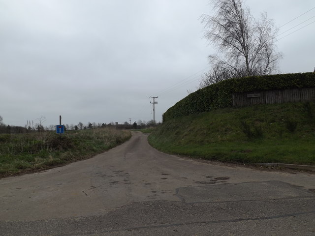
Church Lane, Creeting St.Matry
At the junction with Mill Lane & Jack's Green Road near Watering Farm
 Map © Crown Copyright")
TIP: Click the map for more Large scale mapping
- Grid Square
- TM0856, 66 images (more nearby 🔍)
- Photographer
- Geographer (more nearby)
- Date Taken
- Saturday, 26 March, 2016 (more nearby)
- Submitted
- Monday, 11 April, 2016
- Subject Location
-
OSGB36:
 TM 08909 56302 [1m precision]
WGS84: 52:9.9258N 1:3.1920E - Camera Location
-
OSGB36: TM 08909 56302
- View Direction
- Northeast (about 45 degrees)