2016
SK4925 : The River Soar and the A6
taken 8 years ago, near to Kegworth, Leicestershire, England
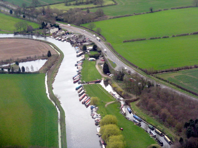
The River Soar and the A6
Just south of Kegworth, seen from the air on approach to Rwy27 at East Midlands Airport.
 Map © Crown Copyright")
TIP: Click the map for more Large scale mapping
- Grid Square
- SK4925, 86 images (more nearby 🔍)
- Photographer
- M J Richardson (more nearby)
- Date Taken
- Tuesday, 5 April, 2016 (more nearby)
- Submitted
- Wednesday, 13 April, 2016
- Subject Location
-
OSGB36:
 SK 4918 2559 [10m precision]
WGS84: 52:49.5362N 1:16.2944W - Camera Location
-
OSGB36: SK 492 267
- View Direction
- SOUTH (about 180 degrees)