2016
ST3387 : West along Liswerry Pill Reen, Newport
taken 8 years ago, near to Newport/Casnewydd, Wales
This is 1 of 2 images, with title West along Liswerry Pill Reen, Newport in this square
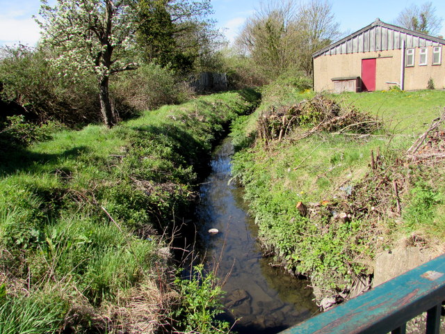
West along Liswerry Pill Reen, Newport
From Nash Road. Reen is a local word for drainage channel.
 Map © Crown Copyright")
TIP: Click the map for more Large scale mapping
- Grid Square
- ST3387, 314 images (more nearby 🔍)
- Photographer
- Jaggery (more nearby)
- Date Taken
- Wednesday, 20 April, 2016 (more nearby)
- Submitted
- Wednesday, 20 April, 2016
- Subject Location
-
OSGB36:
 ST 3365 8727 [10m precision]
WGS84: 51:34.8221N 2:57.5363W - Camera Location
-
OSGB36: ST 3371 8726
- View Direction
- WEST (about 270 degrees)