2016
SE5460 : Full ditch, south side of Chapman's Lane
taken 8 years ago, near to Shipton, North Yorkshire, England
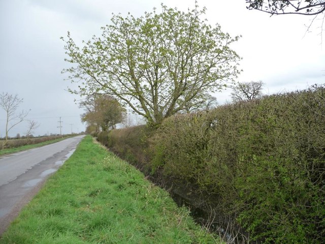
Full ditch, south side of Chapman's Lane
After a very wet winter and some rainy days. The land is very flat, and about 17 metres above sea level.
 Map © Crown Copyright")
TIP: Click the map for more Large scale mapping
- Grid Square
- SE5460, 23 images (more nearby 🔍)
- Photographer
- Christine Johnstone (more nearby)
- Date Taken
- Wednesday, 13 April, 2016 (more nearby)
- Submitted
- Saturday, 23 April, 2016
- Subject Location
-
OSGB36:
 SE 5425 6002 [10m precision]
WGS84: 54:1.9993N 1:10.3936W - Camera Location
-
OSGB36: SE 5423 6002
- View Direction
- East-northeast (about 67 degrees)