2011
NZ0752 : Laings Loaning
taken 13 years ago, near to Allensford, County Durham, England
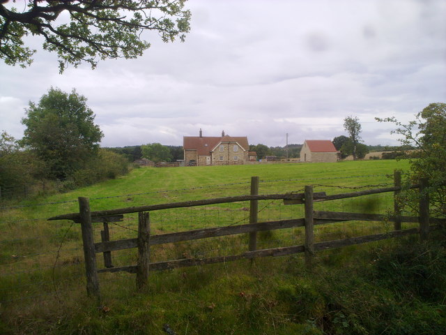
Laings Loaning
This isolated house and smallholding stands in the fields west of Shotley Bridge. The house appears on the 1864 Ordnance Survey map and I assume that it's the same one as is here now, although much modernised. Can't find anything about the strange name.
 Map © Crown Copyright")
TIP: Click the map for more Large scale mapping
- Grid Square
- NZ0752, 13 images (more nearby 🔍)
- Photographer
- Robert Graham (more nearby)
- Date Taken
- Friday, 23 September, 2011 (more nearby)
- Submitted
- Thursday, 28 April, 2016
- Subject Location
-
OSGB36:
 NZ 0779 5215 [10m precision]
WGS84: 54:51.8444N 1:52.8097W - Camera Location
-
OSGB36: NZ 0786 5224
- View Direction
- Southwest (about 225 degrees)