2016
SE0221 : Back Lane, Soyland
taken 8 years ago, near to Cotton Stones, Calderdale, England
This is 1 of 3 images, with title Back Lane, Soyland in this square
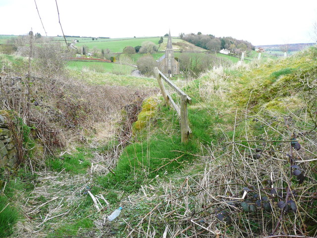
Back Lane, Soyland
This is a sunken lane, blocked by brambles. This view is from the southern end of the footpath from Weather Hill. A path has been trodden up the grassy slope to the right. It goes along a strip of land that has been planted with trees.
 Map © Crown Copyright")
TIP: Click the map for more Large scale mapping
- Grid Square
- SE0221, 118 images (more nearby 🔍)
- Photographer
- Humphrey Bolton (more nearby)
- Date Taken
- Monday, 18 April, 2016 (more nearby)
- Submitted
- Saturday, 30 April, 2016
- Subject Location
-
OSGB36:
 SE 0270 2158 [10m precision]
WGS84: 53:41.4397N 1:57.6354W - Camera Location
-
OSGB36: SE 0270 2158
- View Direction
- EAST (about 90 degrees)