2016
SH4674 : Lon Las Cefni
taken 8 years ago, near to Llangefni, Isle of Anglesey/Sir Ynys Mon, Wales
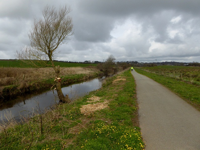
Lon Las Cefni
The Lon Las Cefni (part of National Cycle Network route 566) is a cycle track which follows the floodbank of the Afon Cefni. The former branch line from Gaerwen to Amlwch runs on the top of the far bank.
 Map © Crown Copyright")
TIP: Click the map for more Large scale mapping
- Grid Square
- SH4674, 32 images (more nearby 🔍)
- Photographer
- Oliver Dixon (more nearby)
- Date Taken
- Friday, 8 April, 2016 (more nearby)
- Submitted
- Wednesday, 4 May, 2016
- Subject Location
-
OSGB36:
 SH 4618 7419 [10m precision]
WGS84: 53:14.5431N 4:18.3925W - Camera Location
-
OSGB36: SH 4621 7415
- View Direction
- North-northwest (about 337 degrees)