2007
NY3931 : Moorland west of Greystoke Forest
taken 17 years ago, near to Berrier, Cumbria, England
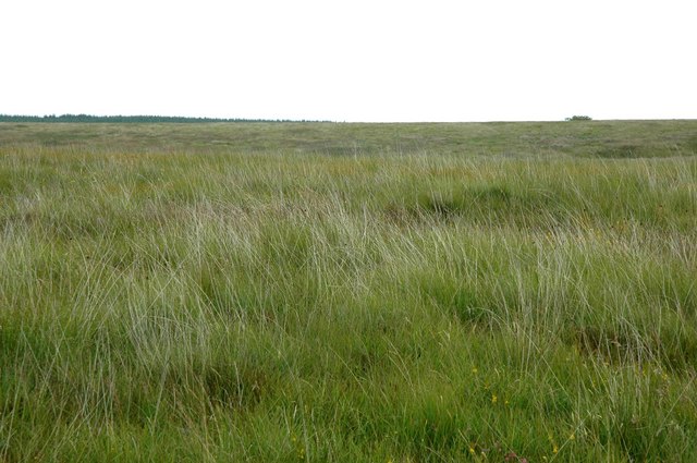
Moorland west of Greystoke Forest
There are very few features to concentrate on in this large expanse of open terrain!
Greystoke Forest is visible on the skyline.
The gentle ridge landform runs roughly NW-SE, and is a product of glaciation and the strike of the local sedimentary rocks.
Greystoke Forest is visible on the skyline.
The gentle ridge landform runs roughly NW-SE, and is a product of glaciation and the strike of the local sedimentary rocks.
 Map © Crown Copyright")
TIP: Click the map for more Large scale mapping
- Grid Square
- NY3931, 4 images (more nearby 🔍)
- Photographer
- Phil Davies (more nearby)
- Date Taken
- Sunday, 15 July, 2007 (more nearby)
- Submitted
- Sunday, 15 July, 2007
- Subject Location
-
OSGB36:
 NY 394 316 [100m precision]
WGS84: 54:40.5859N 2:56.4686W - Camera Location
-
OSGB36: NY 390 315
- View Direction
- East-northeast (about 67 degrees)