2016
NS3373 : Cardross Road
taken 8 years ago, near to Port Glasgow, Inverclyde, Scotland
This is 1 of 7 images, with title Cardross Road in this square
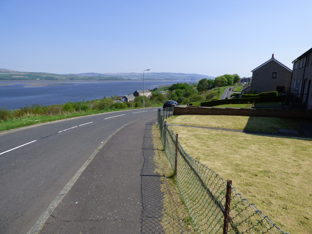
Cardross Road
Looking east from the west end of the road, the Firth of Clyde is on the left.
 Map © Crown Copyright")
TIP: Click the map for more Large scale mapping
- Grid Square
- NS3373, 204 images (more nearby 🔍)
- Photographer
- Thomas Nugent (more nearby)
- Date Taken
- Thursday, 12 May, 2016 (more nearby)
- Submitted
- Wednesday, 25 May, 2016
- Subject Location
-
OSGB36:
 NS 3312 7389 [10m precision]
WGS84: 55:55.7420N 4:40.3622W - Camera Location
-
OSGB36: NS 3307 7390
- View Direction
- East-southeast (about 112 degrees)