2016
TQ1450 : Steers Field, Denbies Hillside
taken 8 years ago, near to Westcott, Surrey, England
This is 1 of 2 images, with title Steers Field, Denbies Hillside in this square
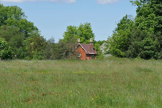
Steers Field, Denbies Hillside
A cottage beside Steers Field, part of the National Trust downland near Dorking.
 Map © Crown Copyright")
TIP: Click the map for more Large scale mapping
- Grid Square
- TQ1450, 197 images (more nearby 🔍)
- Photographer
- Alan Hunt (more nearby)
- Date Taken
- Tuesday, 24 May, 2016 (more nearby)
- Submitted
- Friday, 27 May, 2016
- Subject Location
-
OSGB36:
 TQ 1402 5037 [10m precision]
WGS84: 51:14.4674N 0:22.0789W - Camera Location
-
OSGB36: TQ 1411 5030
- View Direction
- Northwest (about 315 degrees)